Training Science explainer
Offline Hiking Maps: What Downloaded Maps Can and Cannot Protect You From
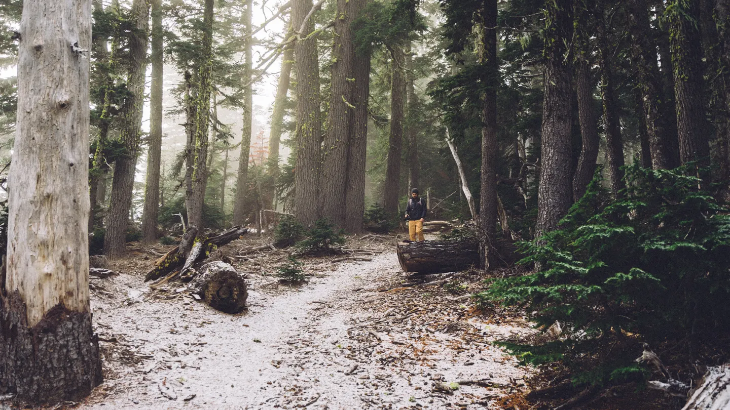
An offline hiking maps guide should start with a limit, not a sales pitch. Downloaded maps keep a picture of the ground when the signal dies. They do not keep you found, dry, or uninjured. This is a source-reviewed guide, not a hands-on lab test.
People download maps because coverage drops in woods and high ground. That habit is sound. The mistake is treating the file as armour. A phone estimates where it is. A map estimates what the ground looked like when someone last drew it. Product pages for hiking apps often sell the first as if it erased the second.
What this offline hiking maps guide says a download can do
A stored map lets you see paths, contours, and water when the mast is gone. That is the real gain. You can still match a ridge to a line on the screen. You can still count re-entrants. You can still decide to turn around before dusk.
US National Park Service pages make the same modest ask. Download offline content before you arrive, because reception is unreliable. Then keep a paper map. Shenandoah’s maps page, last updated 14 January 2026 on the park site, says brochure maps are for short day hikes. Longer trips need a topographic sheet.
The download is a spare library. It is not a locator beacon. It does not call anyone. It does not know if the stile is gone.
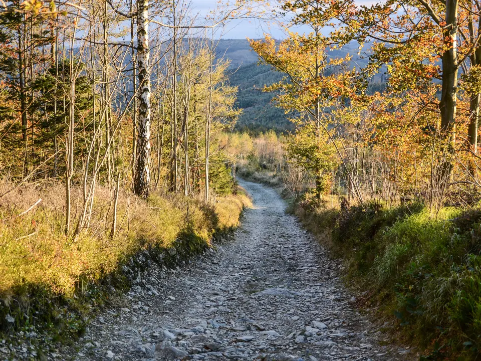
How accurate is the blue dot
The blue dot is a GNSS estimate. Satellites, a cheap antenna, and software guess a point. Independent field work does not treat that point as a pin on a nail.
In 2025, Ecological Solutions and Evidence compared smartphone GNSS with survey-grade kit under open sky. Median horizontal error for the phones in that trial sat between 0.9 m and 3.4 m (about 3–11 ft). A compact survey receiver did better, with medians of 0.5–1.1 m.
Forest cover is harsher. A 2022 Sensors study of single- and multi-frequency phones under canopy reported large spread between devices. The strongest dual-frequency phone in that set, a Xiaomi Mi 10, had a horizontal DRMS of 4.56 m. The authors warned against generalising by “dual-frequency” as a class. Chipset and antenna still matter.
A later Forest Science field course in Georgia, published 2026, found forestry users may see about 2–6 m (7–20 ft) on some southern forest plots with recent iPhone and Pixel models. That is enough to put you on the wrong side of a stream on a 1:25,000 sheet if you stare at the dot and ignore the land.
None of those papers tested a consumer hiking app’s snap-to-trail logic. If software pulls your marker onto a path, that is a drawing choice. It is not a new measurement.
| Question or claim | Evidence source | Study type | Population or setting | Reference standard | Outcome | Key finding | Limitation | Applicability |
|---|---|---|---|---|---|---|---|---|
| A phone’s blue dot is “accurate enough” | Harrower et al., Ecological Solutions and Evidence (2025) | Field comparison | Ecology-style static and walking protocols, open sky | Centimetre-class base station | Horizontal distance error | Phone medians 0.9–3.4 m; survey receiver 0.5–1.1 m | Open sky, not dense canopy; small device set | Useful for “a few metres,” not cliff-edge certainty |
| Forest canopy barely matters | Tomaštík et al., Sensors (2022) | Static GNSS under canopy | 15 forest sites; 10 phones plus a geodetic receiver | Survey points | Horizontal DRMS and CEP | Best dual-frequency phone DRMS 4.56 m; phones varied widely | Static holds, not a moving hiker in rain | Do not treat “multi-frequency” as a guarantee |
| A download replaces map skill | Mountain Rescue England and Wales safety advice | Operational guidance | Hill parties in England and Wales | Rescue practice, not a lab | Call-out procedure | Carry map and compass; set GPS to the correct map and grid; do not rely on the phone | Not a randomised trial | UK hills; the stay-put rule still applies |
| Park apps remove the need for paper | NPS Outdoor Emergency Plan; Shenandoah maps page | Agency guidance | US park visitors | None; operational | Preparedness steps | Download maps, then pack paper; brochure maps are for short day hikes | Park-specific; not a GNSS accuracy paper | US parks; the paper backup is the point |
| Phone coordinates drop straight onto a British map | Ordnance Survey, Guide to coordinate systems in Great Britain | Geodesy manual | Great Britain mapping | OSTN15 / OSGB36 | Datum transform | GNSS uses WGS84/ETRS89; OS maps use OSGB36 National Grid; a transform is required | Technical; not a hiking trial | UK grid talk to rescue; wrong datum misplaces you |
Paper maps, datums and grid talk
Rescue language is older than app stores. Mountain Rescue England and Wales asks for a grid reference if you can give one. The British Mountaineering Council explains the fallback: latitude and longitude from the phone’s compass app, which teams can convert.
That conversion is not a party trick. Ordnance Survey’s coordinate guide states the problem in plain geodesy. GNSS positions sit in WGS84 or, in Britain, ETRS89. OS maps sit on OSGB36 National Grid. Linking them needs the OSTN15 transform, not a casual “close enough” guess.
If an app is set to the wrong datum, your spoken numbers can land hundreds of metres off the sheet the team is holding. MREW’s printed advice says to set a GPS with the correct map and grid data before you need it. That is a settings job at the kitchen table, not on a wet stile.
US callers hear a different script. The NPS outdoor emergency plan says to give 911 GPS coordinates if you have them, plus the trail name, last known point, clothing colours, and kit. Stay put unless the place itself will kill you. Moving to “follow the line” after you have already called is how teams lose time.

What downloaded maps cannot show
A file is a snapshot. Wrangell–St. Elias National Park tells travellers that maps a few years old may no longer match the ground. Glaciers, rivers, and washouts move. A 100-foot contour interval hides a lot of ankle-breaking detail.
Volunteer layers such as OpenStreetMap can be rich in popular valleys and thin on a side path. Completeness is not uniform. I did not find a single global percentage that would be honest to quote, so this guide will not invent one. Treat community paths as hints. Confirm them against an official sheet and what you can see.
Commercial trail traces in apps such as AllTrails or Komoot are user or partner lines. They can be excellent. They can also record a trespass, a winter shortcut, or a route that is now closed. An offline hiking maps guide that skips that caveat is selling comfort.
Weather, darkness, and group fitness never appear as a red badge on the download. Neither does a twisted knee. The map cannot walk you down.
Battery, signal and rescue
MREW is blunt about phones. Coverage is hit and miss. Batteries fade. Many call-outs come late in the day, when both people and handsets are tired. Charge before you leave. Keep calls short. Carry a power bank on long days. Register for emergencySMS in the UK before you need it, by texting “register” to 999.
If you must call in England or Wales, dial 999 or 112. Ask for Police, then Mountain Rescue. Stay put until the team contacts you. If you have signal and battery, teams may send a SARLOC or PhoneFind link so the handset reports a point. That still needs a living phone.
Airplane mode can slow data drain while GNSS still runs on many modern phones. I am not citing a universal hour figure for cold weather, because I could not verify a single official number that fits every handset. Cold shortens lithium packs. A paper map does not care.
US readers use 911. The NPS plan still wants you to stop, breathe, fix a position with map, compass, GPS, or landmarks, and retrace only if that is safe. Bright clothing and a whistle are listed because they do not need a mast.

How to read a claim before you trust a layer
Ask who drew the line, when it was last checked, and which datum the coordinates use. Official park or national-mapping tiles beat an anonymous “local gem” with no date. Outdooractive and Gaia GPS pages will describe their own sources. Read those pages as claims, not as field certificates.
If a store listing says “works offline,” it means tiles or vector packs can sit on the device. It does not mean GNSS stays sharp in a gorge. It does not mean the contour interval is fine enough for a night descent.
Training load is a different problem. A long hill day is still training. Our progressive overload guide is about adding work you can recover from. Navigation error is how people add a night they cannot recover from.
A field check that is not a product test
Do this at home, then on an easy path you already know. Set the coordinate format at the table. For Britain, confirm National Grid. For the US, practise speaking latitude and longitude slowly. Download on Wi-Fi. Open the pack in airplane mode before you leave.
On a known junction, compare the screen with paper and with the land. If the blue dot sits 20 m (about 65 ft) off a stream you can hear, believe the stream. The unverified part of every offline hiking maps guide is the next stretch of your particular hill.
Frequently asked questions
Do offline hiking maps work without any signal?
How accurate is smartphone GPS for hiking?
Should I still carry a paper map?
What should I tell Mountain Rescue or 911?
Does a trail app prove a path is legal or safe?
Why does my grid reference not match the map?
Sources
- 1. Comparing the accuracy and precision of smartphone and specialist handheld GNSS receivers for use in ecological fieldwork
- 2. Evaluation of Static Autonomous GNSS Positioning Accuracy Using Single-, Dual-, and Tri-Frequency Smartphones in Forest Canopy Environments
- 3. Getting help
- 4. Outdoor Emergency Plan
- 5. A Guide to Coordinate Systems in Great Britain
- 6. What to do in a hill walking emergency
Guidance changes. Figures were checked against the sources above at the time of review; always confirm current advice with your GP, pharmacist or clinician.
Image credits
- Photo: Photo by www.Pixel.la Free Stock Photos / Wikimedia Commons (CC0) / Openverse
- Photo: Photo by Pudelek / Wikimedia Commons (CC BY-SA 4.0) / Openverse
Was this useful?
Anyone can react — no account needed.



Discussion
0 comments · Name and email only · Email is never shown